In early spring of 2024, the southern 2/3 of Missouri was flown at a 6″ resolution. This resolution supports ongoing NextGen 911 efforts and county property assessment.
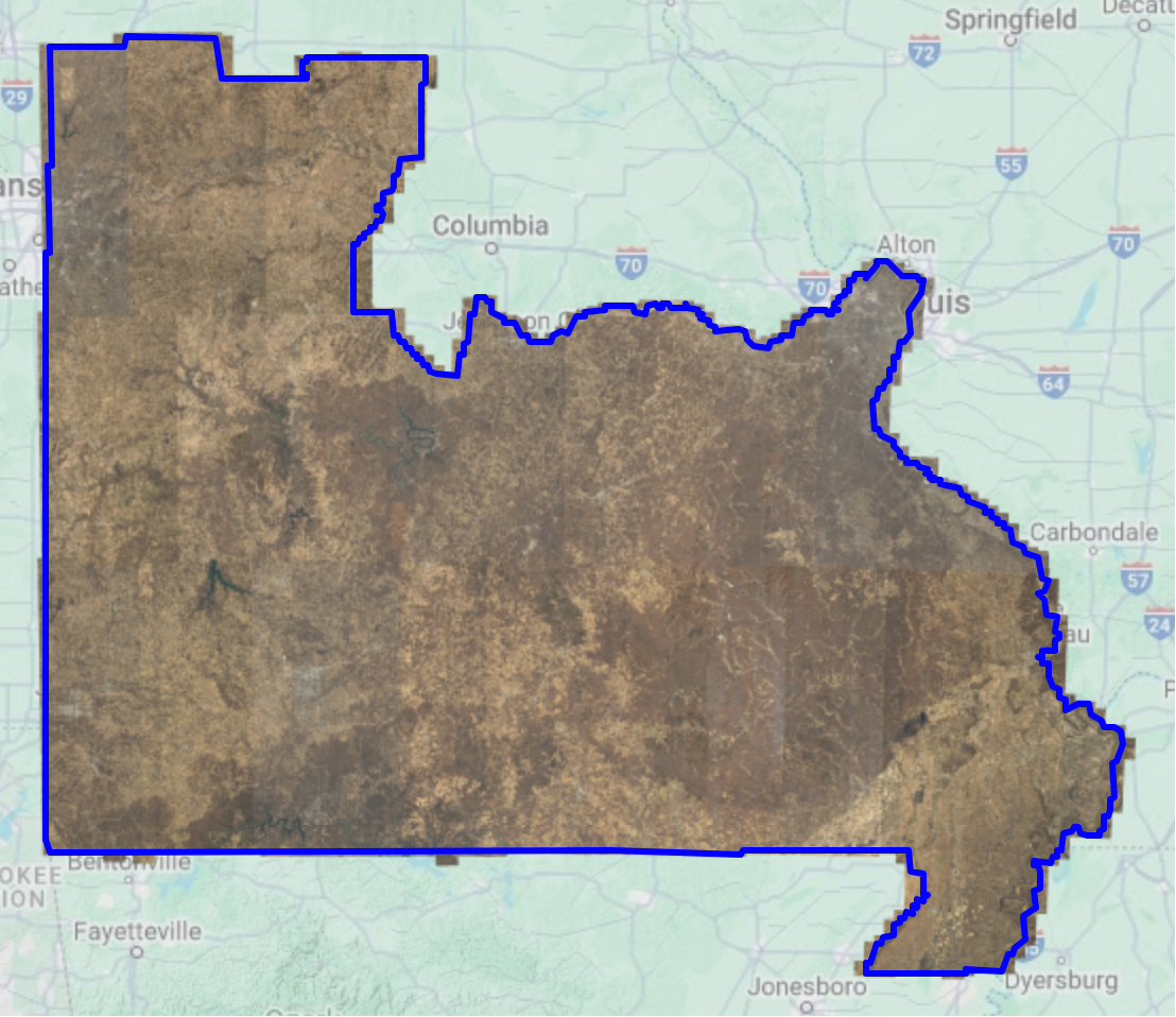
This is the same flight area that was flown in 2022. The difference is in the resolution – 6″ vs. 12″. It makes many months of processing to create a finished product of the raw data. It is not expected to be available at the clearinghouse until Q2 of 2025.
The wait will be worth it. When completed, this will be the first time Missouri has state-wide coverage at a 6″ resolution.
2023 – Flight
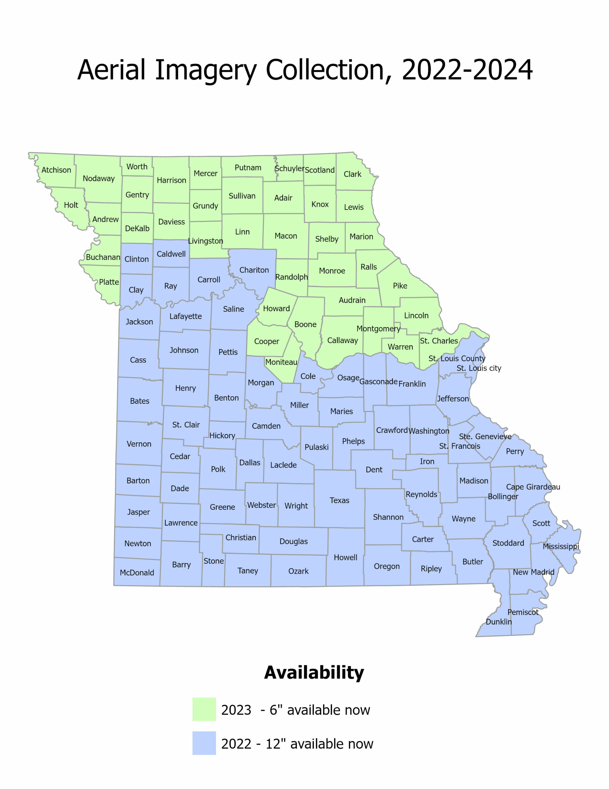
The northern green counties shown below were flown in the spring of 2023. Imagery is available as a image service and as county mosaic from the state GIS clearinghouse.
2022 Flight
The southern 2/3 of the state shown in the map above in blue were flown in 2022 as a 12″ resolution product. These are available as a image service and as county mosaics from the state GIS clearinghouse
If you have any questions about these services, you can get contact the MSDIS clearinghouse at msdismail@missouri.edu.
Looking Ahead
Missouri used ARPA funds to complete a 6″ resolution project for the whole state. The cost of this is roughly 3 times the cost of a 12″ product (closer to $3M than $1M). File sizes and storage requirements increase 4-fold between 12″ and 6″ resolutions. Without additional funding to make up the difference, the state is likely to return to a 12″ product for the next state-wide project. Our imagery cycle is based on the needs of the funding partners, but tends to refresh every 5-6 years.